File Details |
|
| File Size | 0.5 MB |
|---|---|
| License | Freeware |
| Operating System | Windows 2000/9x/Server 2003/XP |
| Date Added | July 31, 2007 |
| Total Downloads | 3,015 |
| Publisher | JDMCox Software |
| Homepage | USAPhotoMaps |
Publisher's Description
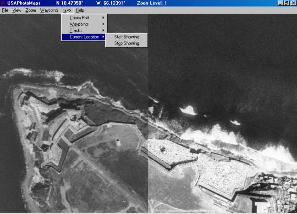
USAPhotoMaps creates scrollable/zoomable aerial photo and topo maps from data that it downloads from Microsoft's Terraserver Web site. Waypoints can be entered and displayed and transferred to/from most GPSs. Tracks can be displayed and transferred to/from most GPSs. Routes can be drawn and displayed and transferred to/from most GPSs, text can be entered and displayed, and GPS position can be displayed.
Latest Reviews
bobad reviewed v2.75 on Aug 5, 2005
Nice program. Small, simple, works very well. Too bad it uses MS Terraserver, because the maps are too old to be useful.
coch reviewed v2.75 on Aug 5, 2005
Good program, kind of a coincidence that the update is released at the same time as Google Earth though...
wizard68sc3 reviewed v2.68 on Jul 5, 2005
I have no use for this prog but it is so cool
mtnsteve reviewed v2.13 on May 28, 2003
I have been using this program, off and on, for the last year. You can use it to get a birds eye view of just about any quadrant in the USA you want (it uses Microsoft TerraServer), plus you can download and print USGS Topo maps (7.5 min) You can save the maps on your computer so you can pull them up anytime you want. It also allows you to store, manage and use way-points from your GPS. Routes and tracks can also be created, displayed and transferred to your GPS. If you hike/backpack, use a GPS or just like to collect maps, this is your program....Plus it's free. If you like the program, send the guy a few bucks, he deserves it.